Schesaplana circular tour


Show all 6 images

Via the Schweizerweg directly to the highest peak of the Rätikon. The 2965m high Schesaplana offers a breathtaking panorama over Swiss and Austrian peaks.
Details
Description
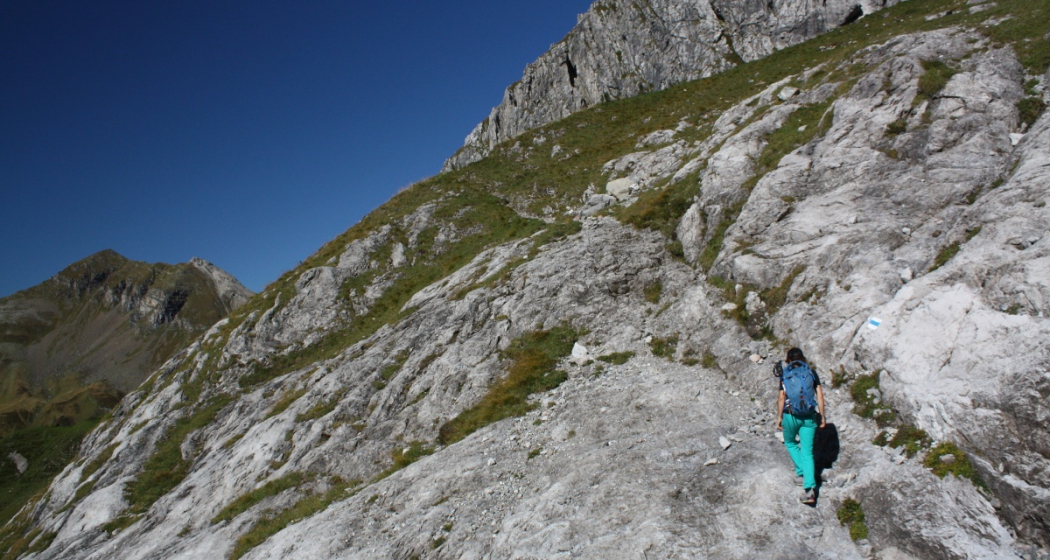
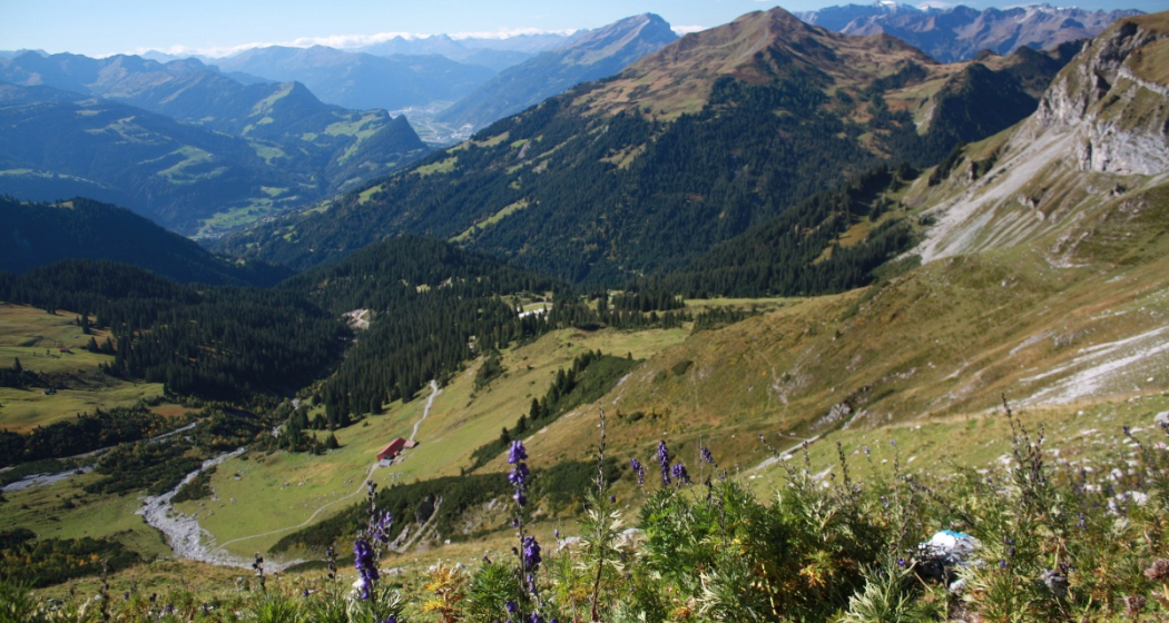
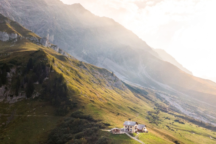
Seemingly insurmountable, the rock bar towers above the Schesaplana Hut. But the Swiss Way leads safely and directly to the summit. First it goes over steep lawns up to the rock ledge, where the white and blue markings show the way through the Schrofen steps. A few chains and a small ladder provide additional support in the crux (T4), but surefootedness is a must. The Steimandli (cairns) mark the route eastwards through the large scree field. From the Schesaplana saddle it now goes steeply northwards up the last meter of altitude to the summit - the view is worth the effort. Back in the saddle, you cross the national border. Over rock ledges and schrfen-like terrain, the path runs eastwards to the Gamslugge. After a last look at the Lünersee, the route descends steeply, secured with a few chains, into the Vals valley. Along the Prättigauer Höhenweg you quickly get back to the Schesaplanahütte. Here you can review the tour with coffee and fine cake and enjoy the magnificent panorama.
Geheimtipp
It is recommended to plan this route as a 2-day tour - the day before leisurely up to the Schesaplana hut. So you start the alpine hike rested and freshly strengthened.
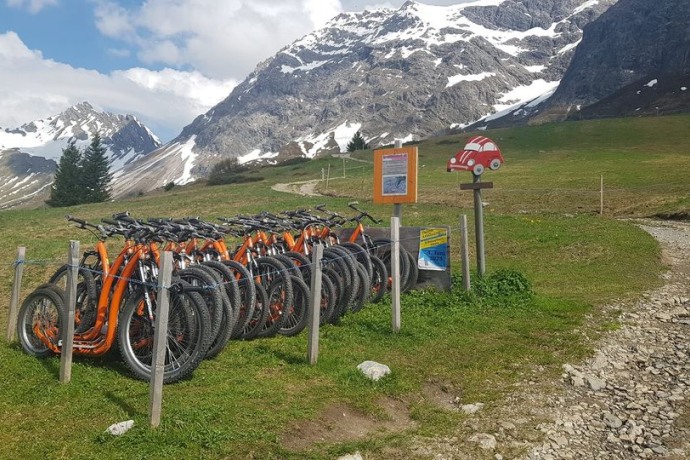
If you like it fast, you can whiz back to Seewis on a scooter .
Sicherheitshinweis
The trail is classified as T4 (alpine hiking) according to hiking scale SAC. If selected: white-blue-white.
Path / terrain: Path not visible everywhere, route partly pathless, in certain places it needs the hands to move forward. Terrain already quite exposed, delicate grass heaps, Schrofen, simple apere glaciers.
Requirement: Familiarity with exposed terrain, sturdy shoes. Some terrain assessment and good orientation. Alpine experience.
Ausrüstung
Sturdy mountain boots, mountain hiking clothing adapted to the season. An up-to-date hiking map in your backpack is just as advisable as sun, rain and heat protection, water bottle and tour provisions. Touring poles increase sure-footedness and relieve the joints. Always with you in case of emergency: first aid kit, rescue blanket, mobile phone. In addition, compass and altimeter may be recommended.
Directions
Schesaplanahütte - via Schweizerweg - Schesaplanasattel - Schesaplana - Schesaplanasattel - Gamsluggen - via Vals-Tal - Schesaplanahütte
Directions
Public Transport
By train to Landquart or Grüsch and then by post bus to Seewis. Get off at the Seewis Dorf, Bühelstrasse stop. Access to the Schesaplanahütte via stage 4 of the Prättigauer Höhenweg.
Anreise Information
Take the A13 motorway to Landquart, continue on the national road N28 towards Davos / Veraina. After the Chlus tunnel, leave the national road in the direction of Fanas / Seewis. Follow the road to the village of Seewis. Access to the Schesaplanahütte via the stage 4 of the Prättigauhöhenweg.
Parken
Paid parking spaces in the Leschga multi-storey car park or at the Flensa ski lift in Seewis.
Responsible for this content Prättigau Marketing.
This content has been translated automatically.

This website uses technology and content from the Outdooractive platform.

