328 Fadära Path

Simple
6.8 km
2:30 h
202 mhd
202 mhd


Show all 11 images

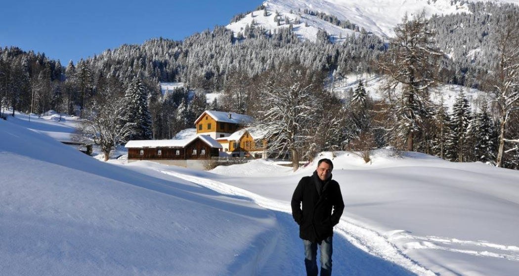
The scenery around “Seewis” is charming all year round. The winter is most spectacular in the „Islatal“ where you find a winter wonderland of snow and ice.
Best Season
Jan
Feb
Mär
Apr
Mai
Jun
Jul
Aug
Sep
Okt
Nov
Dez
Start
Seewis
Destination
Hamlet Fadära
Coordinates
46.989111, 9.637305
Details
Description
A romantic winter hiking trail leads from the quaint village of „Seewis“, high above the valley through the plains of the „.Islatal” towards the “Bündner Rheintal”. Initially the trail follows a small creek and then crosses a bog where the heavy snow blanket hides a seven hectare wetland of national significance.
The last section of the trail leads uphill through open woods to the small village of “Fadära”. The southern exposure creates a very sheltered and extremely mild climate. This is especially suitable for the wild daffodils („Dichter-Narzissen“), which bloom by the thousands in spring in the meadows of „Seewis“.
It is nice to hike the same trail back to town, although it would be faster using the road to reach “Seewis”. The block like design of the roads is not typical for a mountain village. It is the consequence of a terrible fire in 1863 intended to prevent future disasters.
Ausrüstung
Warm winter shoes with a profile are recommended!
Directions
Public Transport
Anreise Information
On the A13 and A28 to Seewis. Take the exit Valzeina, Grüsch, Seewis. Follow the signs for Seewis.
Parken
Paid parking spaces in the Leschga multi-storey car park or at the Schützenhaus.
Responsible for this content SwitzerlandMobility.
This content has been translated automatically.


